
Report a problem map
You can report a problem on the spot, attach pictures or videos, and get updates about the City’s response.
Report an problem in 6 easy steps
- Click “Proceed as guest”
- Select a category
- Click on + Report a problem
- Describe the problem (add a photo to help us locate the problem and include your email address to get updates)
- Select a location
- Click on Report It
GeoDataHub
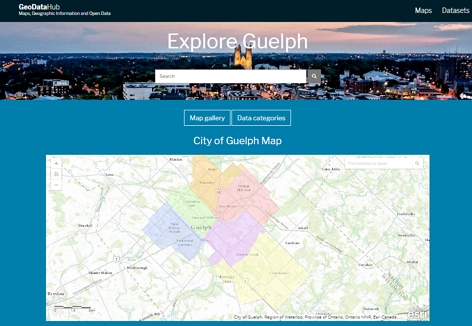
The GeoDataHub provides one-stop access to the City of Guelph’s searchable open data and open information, together with open dialogue, as part of City’s commitment to enhancing transparency and accountability.
Popular maps
Printable maps
Transit maps
| Map | Last Updated |
|---|---|
| List of transit schedules and maps | September 2017 |
Benchmarks
| Map | Last updated |
|---|---|
| Benchmarks | March 2022 |
Street maps
| Map | Last Updated |
|---|---|
| City of Guelph Street Map | December 2024 |
| Downtown Guelph street map | March 2013 |
Truck routes
| Map | Last updated |
|---|---|
| Permissive Truck Routes | April 2012 |
| Permissive Truck Routes – Half Loads | April 2012 |
Attractions and points of interest
| Map | Last updated |
|---|---|
| Guelph Visitor Map | April 2022 |
Ward maps
| Map | Last updated |
|---|---|
| Ward boundaries | October 2022 |
Trail Maps
| Map | Last updated |
|---|---|
| All Guelph trails | January 2009 |
| CNR Spurline Trail | May 2013 |
| Downtown Trail Map | May 2013 |
| Eramosa River Trail | January 2009 |
| Hanlon Creek Trail | October 2000 |
| Laura Baily Memorial Trail | January 2009 |
| Silvercreek Trail | October 2000 |
| Speed River Trail | May 2013 |
| Watson Creek Trail | March 2013 |
| Guelph Cycling map | May 2021 |
Waste Collection Map
| Map | Last updated |
|---|---|
| Waste Collection Map | March 2022 |
Winter control maps
| Map | Last updated |
|---|---|
| Primary and Secondary Salt Routes | October 2016 |
| Residential Sand Routes | November 2015 |
| Sidewalk Plowing Routes | November 2016 |