On this page
Edinburgh Road Environmental Assessment
In February 2025, after careful consideration, the City of Guelph paused the Edinburgh Road environmental assessment indefinitely. The project’s capital implementation budget was deferred from the City’s current 10-year capital budget to achieve a fully funded capital budget and forecast that aligned to the City’s priorities (housing, infrastructure renewal and external funding). As a result of the budget adjustments, any environmental assessment findings or approvals would expire before being implemented by the City .
Background
The rail crossing study, completed in 2023, recommended the completion of an environmental assessment to identify all potential rail crossing alternatives that could be made to prepare Guelph for Metrolinx’s planned two-way, all-day passenger rail service on the Kitchener GO line. Please see the documents, below, related to the rail crossing study.
Visit our Metrolinx in Guelph page for updates and information about Metrolinx plans and construction activity in our community.
Documents and resources
- Final Report – Level Rail Crossing Study
- Appendix A – Engagement Summary Memos and Public Open House Display Boards
- Appendix B – Background Technical Memorandum
- Appendix C – Existing Conditions Technical Memorandum
- Appendix D – Rail Crossing Grade Separation and Pedestrian Bridge Conceptual Design Memo
- Appendix E – Traffic Future Conditions Technical Memorandum
- Frequently Asked Questions (FAQs)
- Project archive
Samples of active transportation crossings
Rail level crossings

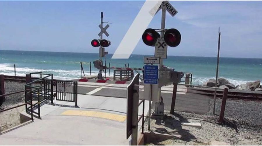
A rail level crossing for active transportation users in California, USA. The crossing uses gates, fences, signals, signs and pavement markings to facilitate a safe crossing across the railway tracks. Source: ‘At-Grade Passenger Rail Pedestrian & Trail Crossings, Empire Corridor South’ prepared by McLaren Engineering Group.

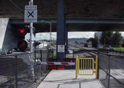
A rail level crossing for active transportation users. The crossing uses gates, fences, signals and signs to facilitate a safe crossing across the railway tracks. This crossing also includes an emergency gate. Source: ‘Engineering Design for Pedestrian Safety at Highway-Rail Grade Crossings’ prepared by U.S. Department of Transportation, Federal Railroad Administration.
Underpass crossings

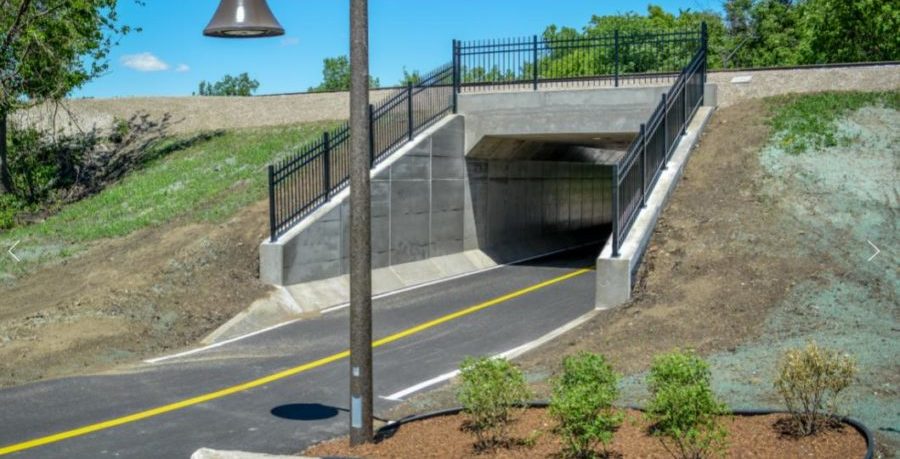
This example shows an underpass crossing with a paved path that has a yellow line showing the direction of travel. Source: ‘Dougall Pedestrian Underpass and Multi-use Trail‘ prepared by Amico.

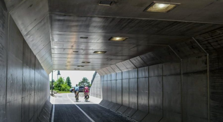
The view from inside a concrete underpass, including overhead lights and several cyclists biking in the underpass. Source: ‘Dougall Pedestrian Underpass and Multi-use Trail‘ prepared by Amico.
For more information
Daniel Di Pietro, Project Manager
Engineering and Transportation Services
City of Guelph
519-822-1260 extension 3607
[email protected]
